The big picture: Google is celebrating the 15th anniversary of one of its biggest undertakings ever - mapping the entire world. It's wild to think that not all that long ago, we were still using paper maps to get from point A to B. My, how time flies!
The search giant announced Google Maps on its official blog way back on February 8, 2005.
At the time, product manager Bret Taylor suggested looking for "hotels near LAX" with Maps or clicking and dragging the map to "view the adjacent area dynamically" with no waiting for new images to download.
The Internet was still instrumental in providing directions before smartphones were ubiquitous, just in a different way. Back then, it wasn't uncommon to use an online service like MapQuest to map out your route ahead of time, complete with turn-by-turn directions, and print them out to take along with you.
Of course, these directions were static so if you veered off course, your printed route didn't update itself like today's digital maps do.

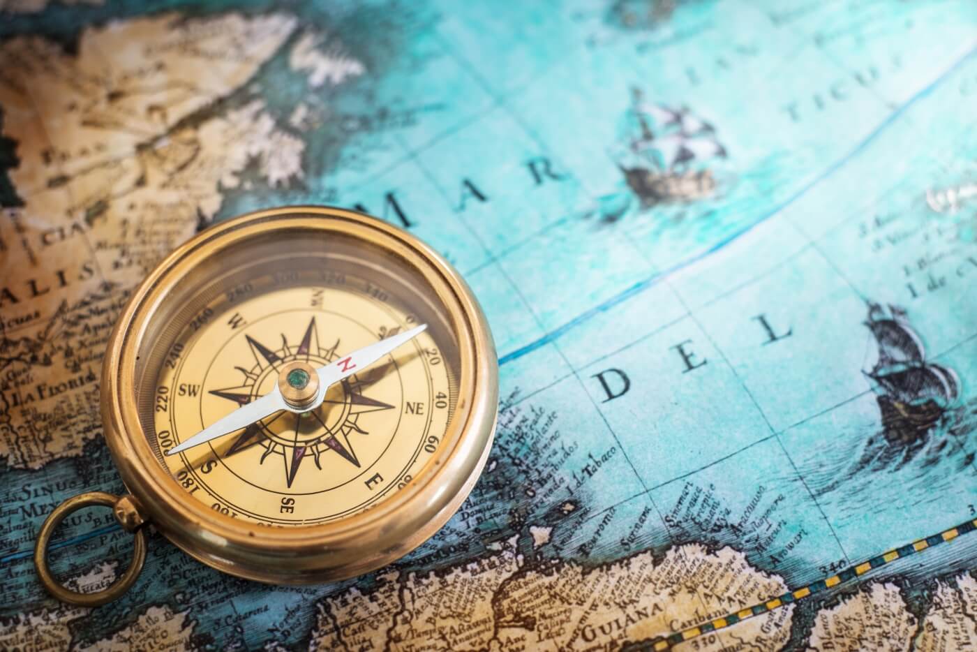
Before the Internet, it was even more archaic, as you had to reply on paper maps or an atlas that was often outdated. There were no turn-by-turn directions, either; you actually had to know how to read a map and get yourself to your destination on your own. Oh, the horror!
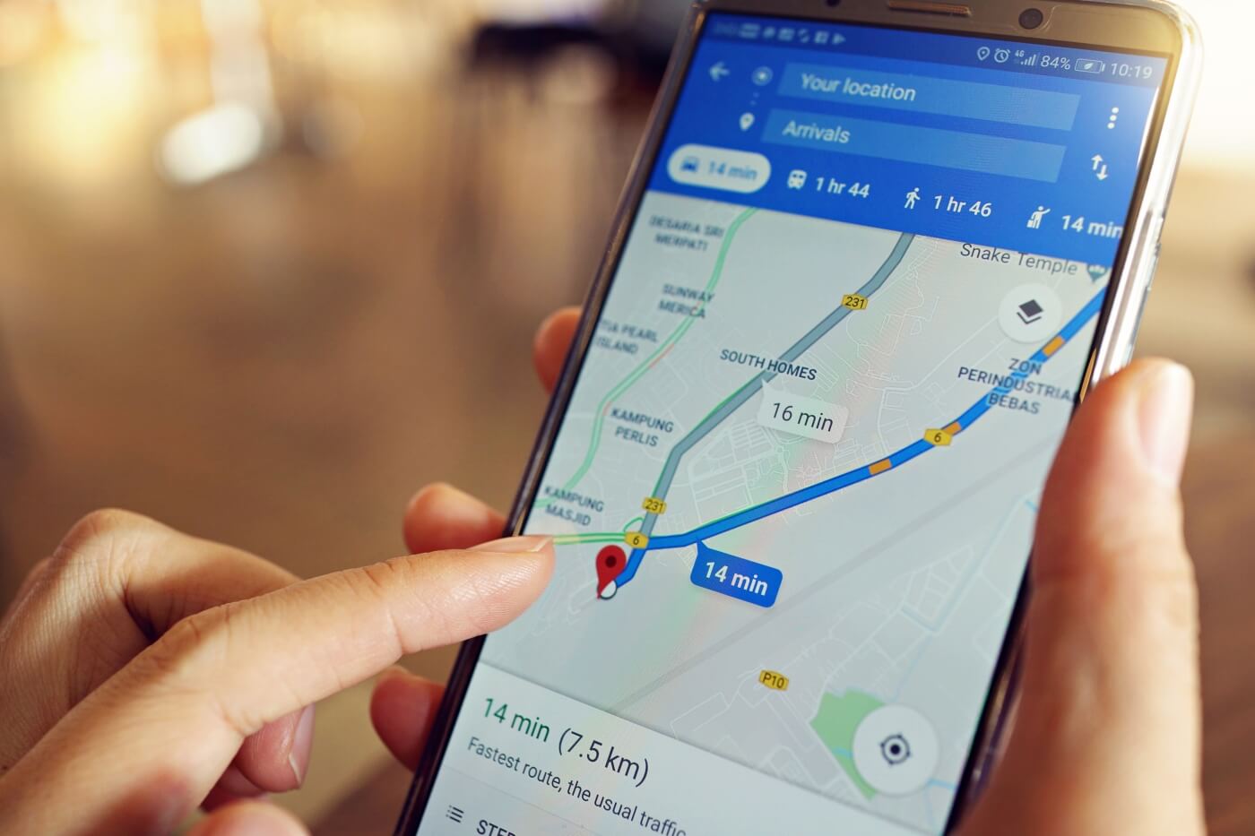
These days, Google Maps is the most popular navigation app in the US by a wide margin.
Competitors like Apple Maps and Waze have obtained some market share but Google is by far the leader. Heck, I can't even think of the last time I saw a printed travel map for sale in a gas station but they are apparently still in print.
Image credit: Google Maps by AngieYeoh. Vintage map by Triff.
